Getting around Korea, from planning your journey to reaching your destination
Prepare your payment and transport card with WOWPASS, then find subway information for the city you are visiting. You can also continue here to airport-to-city transport and journeys between cities.
Payment and transport card for Korea
With one WOWPASS card, shop and ride the subway
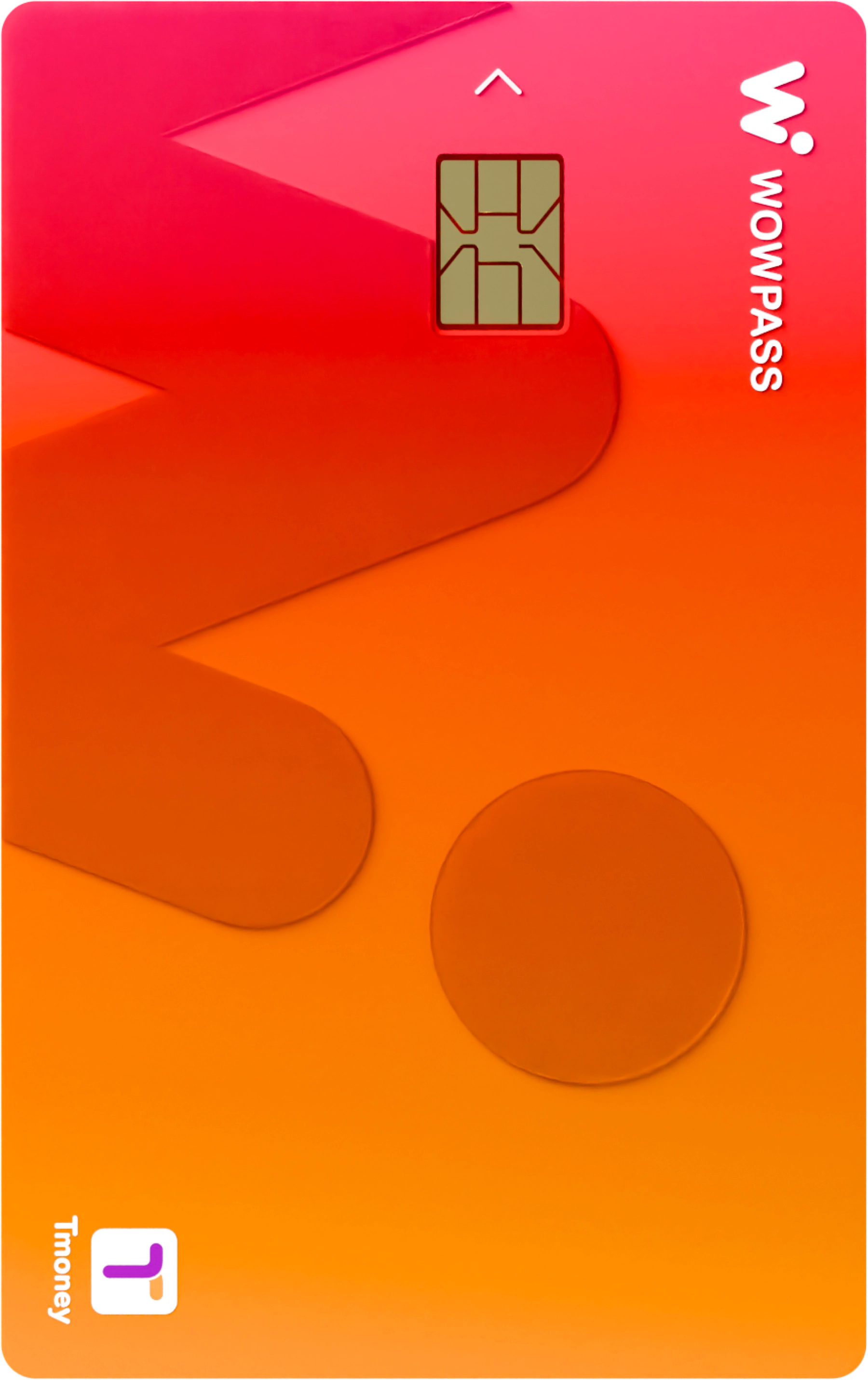
WOWPASS is a prepaid card for foreign visitors to Korea. Use the loaded payment funds in shops, and its built-in Tmoney function on subways and buses.
Payment and Tmoney balances are managed separately. Once you have your card, top up its transport balance too before traveling.
First find the stations where you will board and leave the train in Seoul. Check the line number and train destination. At transfer stations, follow signs for the line you are changing to.
For Incheon urban rail, find your station and direction on Incheon Transit Corporation's website. For journeys starting at the airport, use the airport guides above separately.
Select your stations in Busan's Cyber Station. Choose departure and arrival stations to see how the lines connect, then check the transfer station and train direction.
For Daegu, open Daegu Transportation Corporation's urban rail guide. Find your station and line, and check your outbound direction and return train times before boarding.
Find your station on Daejeon Transportation Corporation's route map. If you need a bus or a walk from the station to your destination, use the map directions below as well.
Find your departure and arrival stations in Gwangju Transportation Corporation's Cyber Station. Look at station timetables, then use the map for the rest of the journey after leaving the train.
Start with our guides to Seoul, Incheon, Busan, Daegu, Daejeon and Gwangju. For destinations in connected areas such as Gyeonggi, enter your start and end points in the map below.
TO THE NEXT CITY
Traveling to another city by KTX or SRT
Choose your departure and arrival stations and travel date to find a train.
02 / Traveling between cities
KTX
KTX · Trains
Search Korail for trains and departure times on your route. When choosing a ticket, check both the train name and the actual departure station.
Bus and subway directions all the way to your destination
Enter the name of a place or your accommodation. Set your starting point on the map and select public transport to find routes using buses and subways.
E.g. Gyeongbokgung Palace, Busan Station or your accommodation
On NAVER Map, select a place in the search results, then choose Directions. The NAVER Map app supports English, Japanese and Chinese; the website and app may display different languages.
Yes, you can use its built-in Tmoney function. The shop payment balance and Tmoney balance are managed separately, so check your Tmoney funds before boarding. The WOWPASS guide explains how to get a card and top up.
Where can I find routes using buses and subways together?
Open NAVER Map or Google Maps in the map directions section, enter your starting point and destination, and select public transport. On NAVER Map, search for your destination first, then choose Directions. Routes and journey times can vary by service and by the time you search.
Where are the airport-to-city directions?
Choose Airport transfers to open the existing airport guides. Select your arrival airport to see transport into the city and the order of any transfers.