
Gyeongpo Beach Observation CCTV live camera guide
Service updated:
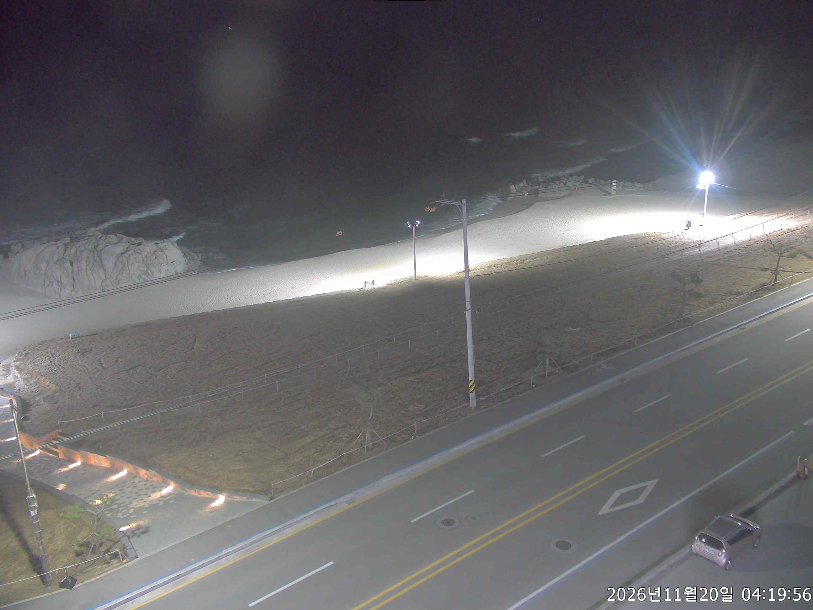
A view for previewing the waves and the mood on the sand before you visit Gyeongpo in Gangneung.
Where can I view this camera?
Select the “경포” (Gyeongpo) item directly in the list of the Ministry of Oceans and Fisheries Coastal Portal (해양수산부 연안포털).
View official camera ↗What is Gyeongpo Beach like?
Gyeongpo Beach is an east-coast beach in Anhyeon-dong, Gangneung, Gangwon Special Self-Governing Province. Gangneung’s tourism guide gives the beach length as 1.8 km, with white sand and a 4 km pine-forest screen that make it a good place to walk.
You can reach it from central Gangneung in about 15 minutes, so it is easy to plan a route even on a first visit. The address is San 1-9, Anhyeon-dong, Gangneung, Gangwon Special Self-Governing Province.
What makes this place worth visiting?
- A long stretch of white sand
A white-sand beach 1.8 km long and 1.44 km² in area, according to Gangneung City’s guide. It combines well with Gyeongpodae Pavilion, one of the Eight Views of Gwandong.
- A drive along the pines
Drive or walk along the 4 km pine-forest screen and enjoy a relaxed cup of coffee. You can reach the beach entrance by car.
- Pine forest and campground
The 4 km pine-forest screen is good for walking, and there is also a campground. Check Gangneung City notices before you go for the facilities’ conditions on the day.
Who might enjoy a visit?
- Anyone checking before going
Open the view on the morning you leave. If the waves and sand are visible, see whether the waves look calm and whether the sand is crowded. The view alone cannot tell you wave heights or whether swimming is possible that day, so check Gangneung City notices, weather warnings and the lifeguards’ instructions on site as well.
- Parents arriving by car
There is a public car park and parking is free. No confirmed information is available on accessibility, so check in advance with Gangneung City tourist information (+82 33-640-4531) and on-site guidance.
- Anyone enjoying coffee and a walk
Pine forest and cafés run along the beach, which is good for walks and drives. The shower facility costs KRW 3,000 (operating during the summer swimming season), so check on site whether it is operating that day.
Practical information
| Address | San 1-9, Anhyeon-dong, Gangneung, Gangwon Special Self-Governing Province |
|---|---|
| Beach | 1.8 km long · 1.44 km² area · 4 km of pine forest |
| Facilities | Shower KRW 3,000 (operating during the summer swimming season) · public car park, free |
| Inquiries | +82 33-640-4531 |
Source: Gangneung City Tourism Portal: Gyeongpo Beach · Ministry of Oceans and Fisheries Coastal Portal
Hourly weather for this area
Forecast area: Gangwon
Loading hourly weather.
Frequently asked questions
Can I go into the water?
Go in only within the swimming season, when the day’s wave height and wind speed and weather warnings are normal, and only in the designated area following lifeguard instructions. Check this year’s swimming season in Gangneung City notices first, and look at this page’s hourly weather and Korea Meteorological Administration warnings before you leave. Do not enter the water when the beach is closed or no lifeguards are on duty.
Source: Korea Meteorological Administration (Weather Nuri) warnings
How do I view the Gyeongpo Beach camera?
Select the “경포” item directly in the Ministry of Oceans and Fisheries Coastal Portal list. A link does not select the camera automatically. If the photo has stopped, it may be under maintenance or affected by conditions on site, so check the original again after a while.
What about the car park and facilities?
According to Gangneung City’s guide, there is a public car park and parking is free. The shower costs KRW 3,000 and operates only during the summer swimming season. Check operation outside the swimming season with Gangneung City tourist information (+82 33-640-4531) before you leave.
Region and sources
- Region
- Gangwon · 강원특별자치도
- Original camera name
- 경포
- Media type
- Updating image
- Provider
- 해양수산부 연안포털
- Original source ID
- 52
- Coordinate source
- 경포 · Operator’s camera map
Coordinates are a reference location supplied by the official service. They do not establish the installation point or camera direction.
Before using this view
Availability and camera direction may change with the operator’s circumstances. A working link does not mean the video is currently playing. Check the original source for maintenance, delays and whether an image is stored rather than current.
The camera cannot establish whether hiking, swimming or a river visit is permitted. Check the operator’s closure notices and weather alerts together.
Where a preview image is available, it links directly to the operator’s original image without storing or copying it on our server. View video on the official page. The operator’s terms apply on external pages.